Thanks to all for the moving and informative videos and all the informational posts of the past several days. My heart is with you all. Short of the koalas and kangaroos, the video Flameangel posted Saturday could have been California during our fires of the past several years. This is getting all too common, and the point can't be made strongly enough that we didn't have fires this large, or this sustained, or destructive of property decades ago—not because of subsequent unwise development, but because of more frequent and sustained drought and higher average temperatures, which produces fires that form their own weather systems (high winds, lightning) that fuel more fires. Some of the towns and agricultural areas that burned in California were not new developments, but were over a century old, that had never been threatened by fire to anywhere near this degree. I'm guessing that's the same in Australia.
We were thankful for your firefighters who came to our aid here in California during our fires of the past several years, so I was glad to see that one of the crews going to you this week is from our nearby Angeles National Forest. Sadly, since our fire seasons, which used to be separate, are now overlapping, I've heard that in future we may not be as able to spare people and equipment to help each other.
More than once I've watched water and Phoschek tankers fly over on their way to our fires (impressive sight), and remember vividly the day I was stuck in freeway traffic and entertained myself by watching Phoschek dumps on a "relatively small" fire in the foothills north of (our) Arcadia. It's like the old curse,
may you live in interesting times. Well, we certainly do.
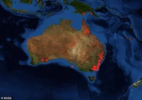
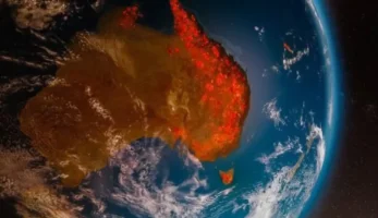
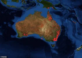
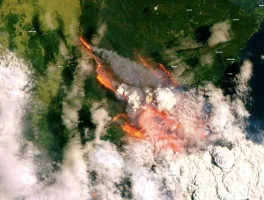
And not to diminish the catastrophe, yep, MerlintheMad, the "inflammatory" picture was a digital visualization of the fire data, not a satellite image, so I'll post this antidote, an actual satellite image from Copernicus Sentinal (Dec 31). If the flames don't get you, the toxic smoke will.
View attachment 36344


